Concord and Spring Road Linear Parks
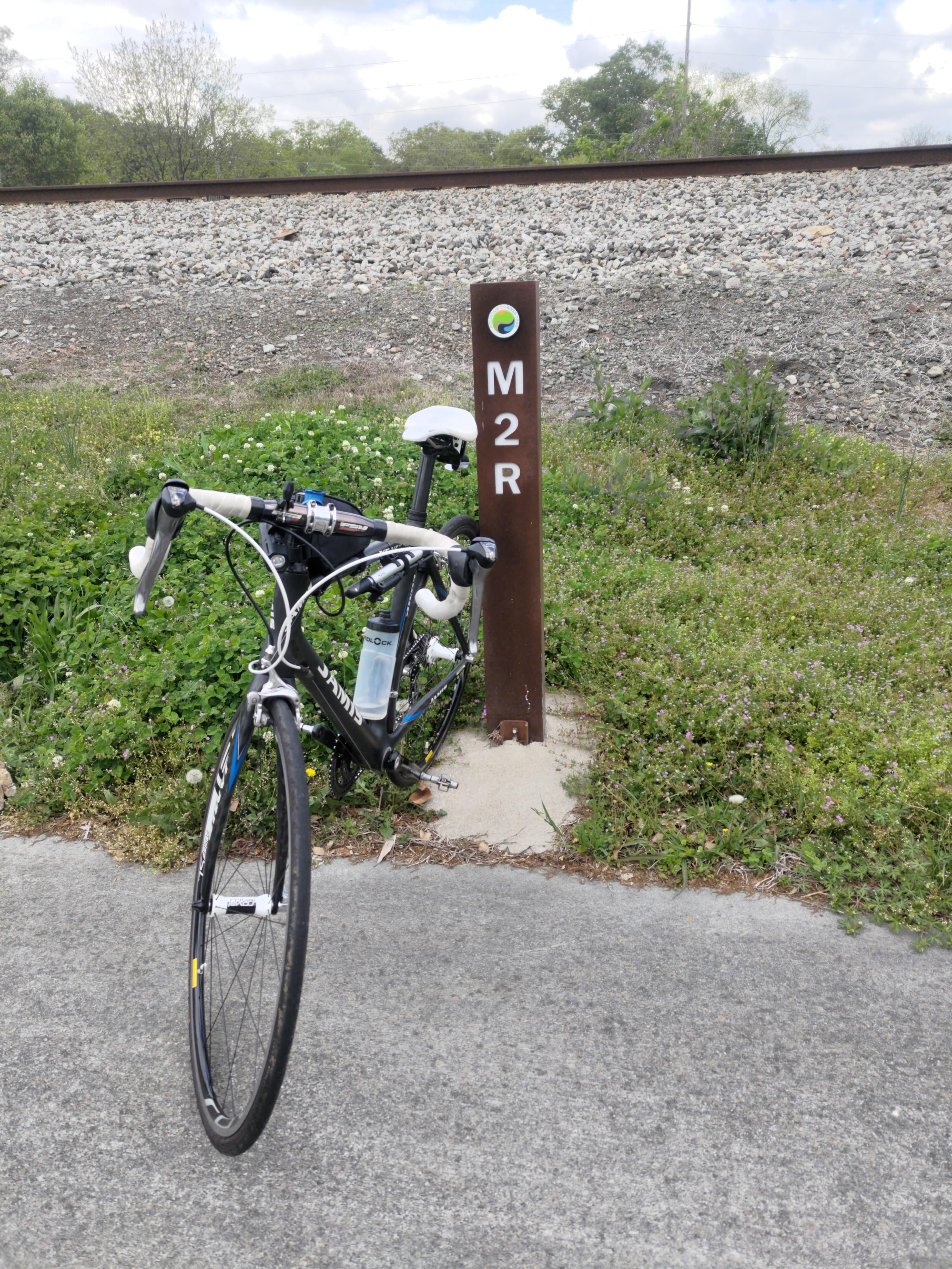
In my earlier review of Rose Garden and Jonquil public parks I mentioned the Mountain-to-River Trail (M2R), a mixed-use bicycle and walking trail that connects the two parks.
The two parks I’m going to review today are also connected by the M2R trail in addition to the Concord Road Trail, but unlike the previous parks these are linear parks that are integrated directly into the trails!
Since the linear parks aren’t very large and don’t have much in the way of ammenities to talk about, we’ll veer outside of our Smyrna focus and discuss a few other highlights of the Concord Road Trail and the southern portion of the M2R trail, starting with the Chattahoochee River.
Paces Mill
- Amenities: 🏞️ 👟 🥾 🛶 💩 🚲
- Transportation: 🚍 🚴 🚣
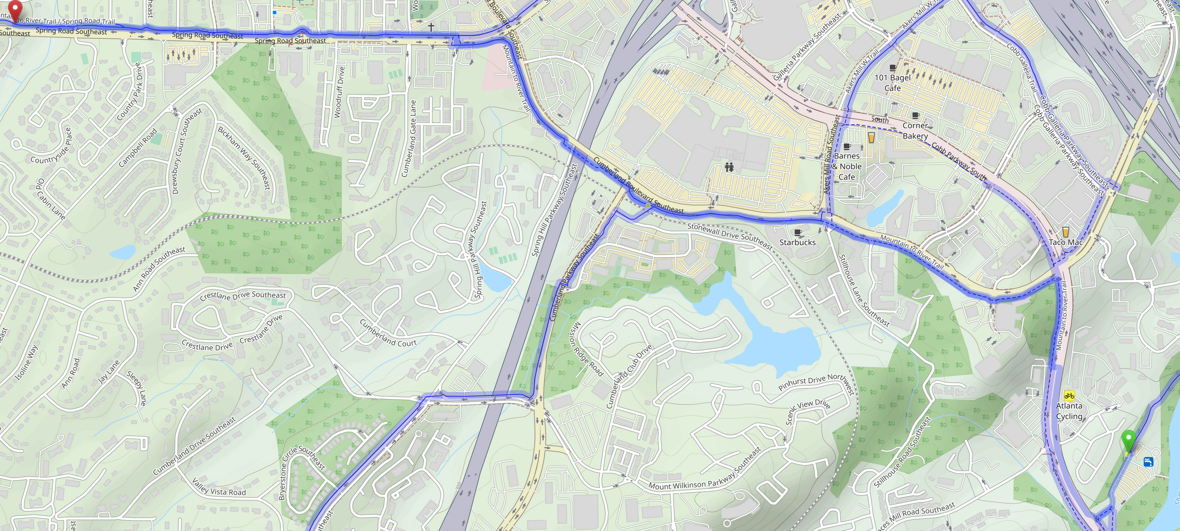
The southern terminus of the M2R trail is at the Chattahoochee River National Recreation Area’s Paces Mill Unit. In addition to the paved walking and biking trails, the park has several miles of unpaved hiking trail, fishing, and of course the river itself. Dogs are allowed and bags are available near the entrance. If you head north on the paved Rottenwood Creek Trail you’ll eventually connect to the Palisades West Trails, the Bob Callan Trail, and the Akers Mill East Trail, giving you access to one of the largest connected mixed-use trail systems in the Atlanta area!
If, instead, you head out of the park to the south on the M2R trail you’ll quickly turn back north into the urban sprawl of the Atlanta suburbs. In approximately 2km you’ll reach the Cumberland Transfer Center where you can catch a bus to most anywhere in Cobb, or transfer to MARTA in Atlanta-proper. At this point the trail also forks for a more direct route to the Silver Comet Trail using the Silver Comet Cumberland Connector trail. We may take that trail another day, but for now we’ll continue north on the M2R trail. Just a bit further north there are also short connector trails to Cobb Galleria Center (an exhibit hall and convention center) and The Battery, a mixed-use development surrounding the Atlanta Braves baseball stadium.
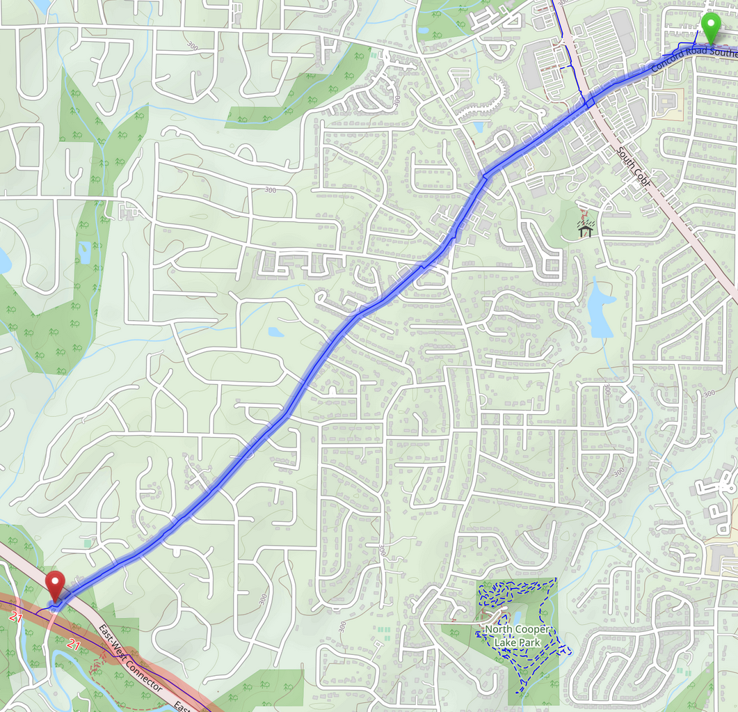
It’s at this point that the trail turns west along Spring Road where it coincides with the Spring Road Trail that connects to the previously-reviewed Jonquil Park (a total ride of ~3.7km). Shortly thereafter we reach our first actual un-reviewed Smyrna park: the Spring Road Linear Park.
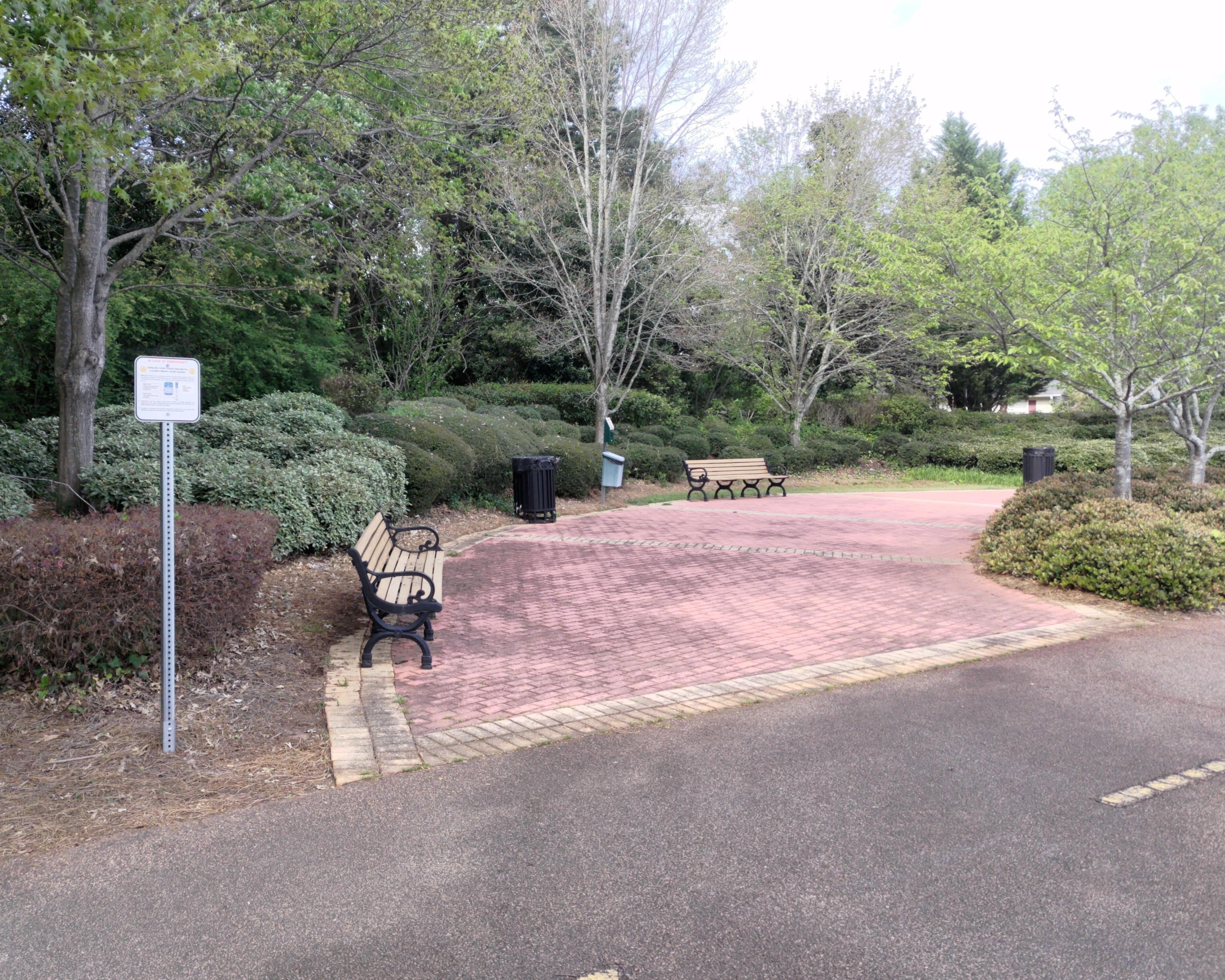
Spring Road Linear Park
- Amenities: 👟 💩
- Transportation: 🚍 🚴
The Spring Road Linear Park stretches 1.1km along the M2R Trail and is easily accessed by both bike (of course) and bus via CobbLinc Route 25.
The park does not have a sign or other markers, but does have several nice pull offs with benches that make a good stop over point on your way home to or from the buses at the Cumberland Transfer Center. If you’re out walking the dog public trash cans and dog-poo bags are available on the east end of the park, but do keep in mind that the main trail is mixed-use so dogs should be kept on one side of the trail to avoid incidents with bikes.
After a short climb the trail turns north again and intersects with the Concord Road Trail and the Atlanta Road Trail. We could veer just off the trail near this point to reach Durham Park, the subject of a future review, but instead we’ll continue west, transitioning to the Concord Road Trail to reach our next park: Concord Road Linear Park.
Concord Road Linear Park
- Amenities: 👟 🔧 📚 💩
- Transportation: 🚍 🚴
The Concord Road Linear Park sits in the middle of the mid-century Smyrna Heights neighborhood and has something special that’s not often found in poorly designed suburban neighborhoods: (limited) mixed-use zoning! A restaurant and bar (currently seafood) sits at the edge of the park along with a bike repair stand and bike parking.
It’s worth commending Smyrna for creating this park at all, it may be small but in addition to the mixed-use zoning it did something that’s also not often seen in the burbs: it removed part of Evelyn Street, disconnecting it from the nearest arterial road! In the war-on-cars this is a small but important victory that creates a quality-of-life improvement for everyone in the neighborhood, whether they bike, walk the dog, or just take a stroll over to the restaurants in the town square without having to be molested by cars.
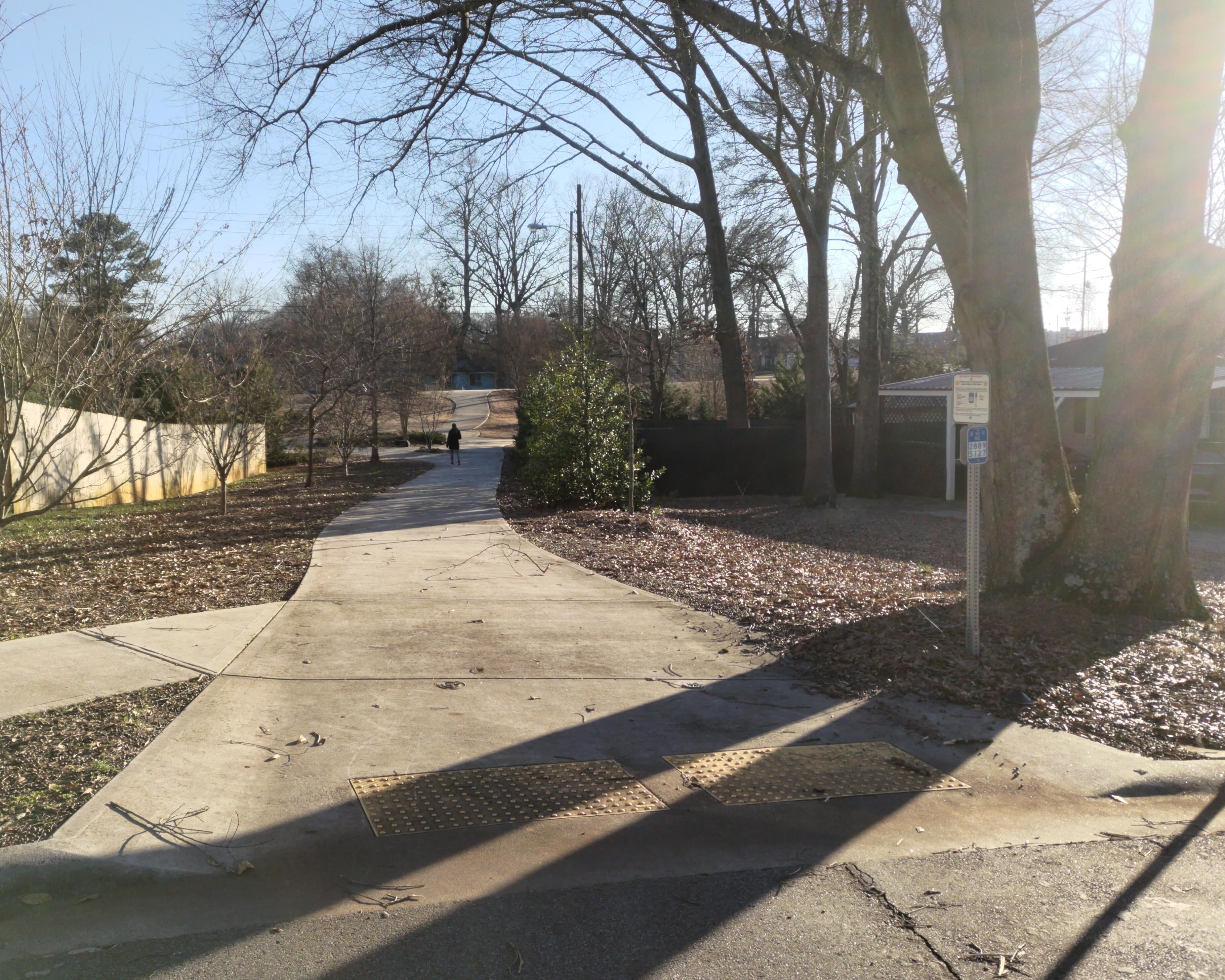
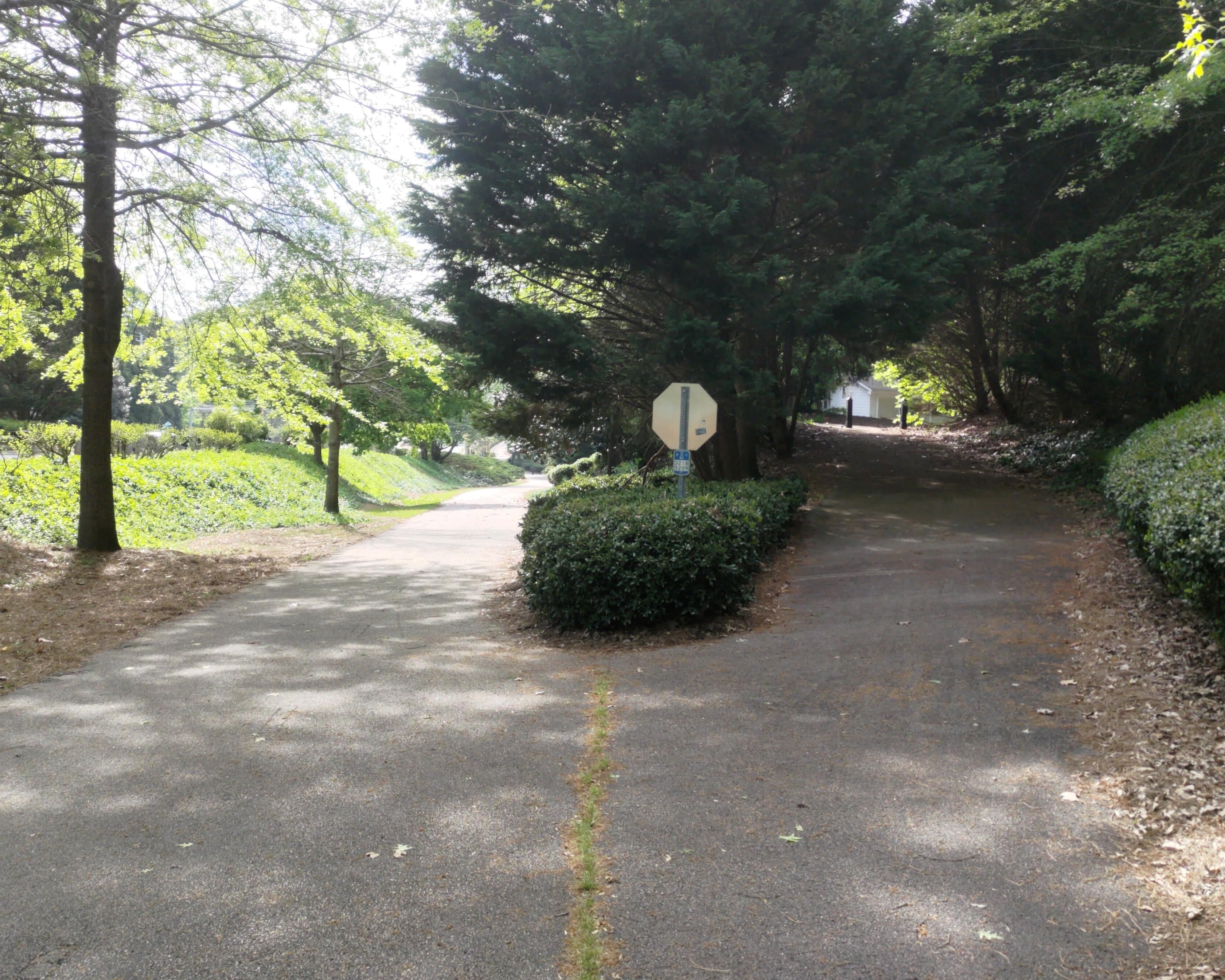
Formerly part of Evelyn Street, now a path
Silver Comet Concord Road Trail Head
- Amenities: 🚻 🍳 👟 📚
- Transportation: 🚴
In our next review we’ll turn back and continue up the M2R trail to reach a few other parks, but if we were to continue we’d find that the Concord Road Trail continues for another 4km until it terminates at the Silver Comet Trail’s Concord Road Trail Head. This trail head sits at mile marker 2.6 on the Silver Comet Trail, right by the Concord Covered Bridge Historic District.
The Silver Comet will likely be covered in future posts, so for now I’ll leave it there. Thanks for bearing with me while we take a detour away from the City of Smyrna’s parks, next time the majority of the post will be about parks within the city, I promise.